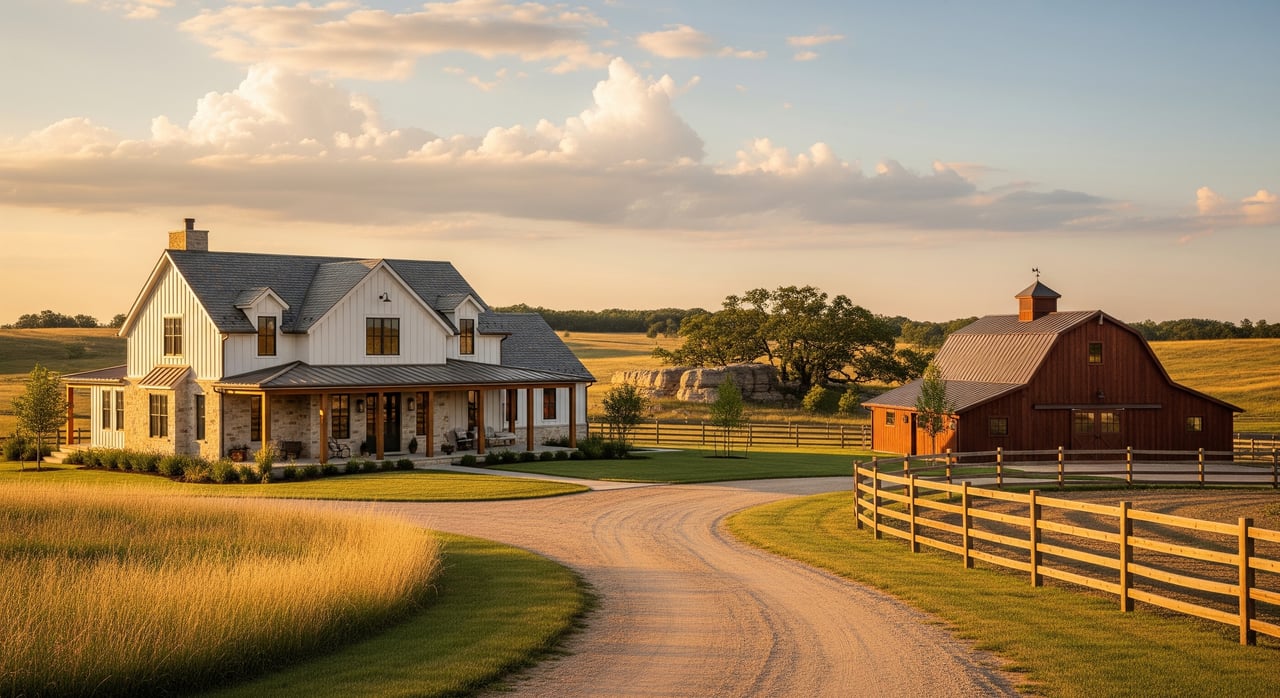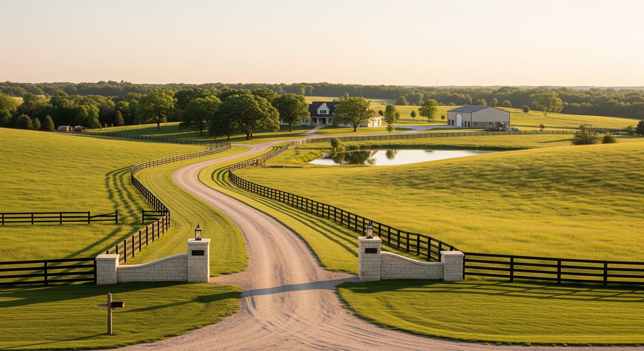
Selling acreage in Johnson County is different from selling a typical suburban lot. Buyers and lenders will look for clear answers on boundaries, access, utilities, septic or well details, flood risk, and environmental history. If you assemble these records upfront, you reduce surprises, speed up due diligence, and give buyers confidence. This guide shows you exactly what to gather, where to request it in Overland Park and Johnson County, and how to stay on schedule. Let’s dive in.
What acreage buyers expect
Buyers and lenders often request a complete packet early. Expect to provide:
- Current survey showing boundaries, improvements, and easements.
- Title commitment, deed, and recorded easements or covenants.
- Septic permits and maintenance records or public sewer confirmation.
- Well permit/log and recent water-quality tests if applicable.
- Floodplain determination and any elevation certificate if required.
- Utility provider details and any service availability letters.
- Building permits and final approvals for homes and outbuildings.
- Seller property disclosures and any environmental history documents.
Start assembling at the listing stage. Surveys and inspections can take weeks, so planning ahead keeps momentum.
Boundary and survey documents
A current survey is the backbone of your acreage disclosure packet. It shows what you own, where improvements sit, and which easements affect use.
Survey types to know
- Boundary survey confirms the parcel lines and legal description.
- Property or location survey maps improvements like houses, barns, and drives.
- ALTA/NSPS survey is more detailed, often lender-required. It shows easements, improvements, and utility locations in a standardized format.
Review the survey for exact acreage, fence lines that do not match the legal boundary, driveways or outbuildings near lines, and any encroachments. If relevant, confirm the location of the septic system and well. If flood risk is a factor, note the elevation datum used.
When to update a survey
If your last survey is older than about 10 years or you added improvements or changed fencing, commission a new one. Lenders and buyers often want current information, especially on larger tracts.
Where to get surveys
Hire a licensed Kansas land surveyor for new work. You can find recorded plats and prior surveys through the Johnson County Register of Deeds and the county parcel viewer/GIS. Your title company may also locate recorded survey documents during the title search.
Title, deeds, easements, and restrictions
Title records explain ownership, access, and use limitations. Clear documentation builds buyer trust and can prevent closing delays.
What to pull
- Current deed and any related recorded documents.
- Chain of title highlights if available.
- Recorded easements for utilities, access, pipelines, or conservation.
- Covenants or HOA/POA documents if applicable.
- Mineral rights status if known.
- Title commitment or preliminary report to identify exceptions and unrecorded matters.
Why it matters
Easements and covenants can affect usable acreage, where you can build, and how you access the property. Buyers want to understand the full picture early.
Where to request records
- Johnson County Register of Deeds for recorded deeds, easements, covenants, plats, and surveys.
- Title company for a title commitment and help identifying exceptions or unrecorded items.
Utilities and service availability
Utility clarity is a top buyer priority. Confirm who serves the property today and what is available for future connections.
What to gather
- Current providers for electric, gas, water, sewer, and telecom.
- Account numbers if active service exists.
- Maps or notes showing service line locations and any utility easement plats.
- Written confirmation of public sewer availability and connection points or confirmation that the property is on a private septic system.
- Stormwater or drainage plans if available.
Who to contact
- City of Overland Park Public Works/Utilities for parcels inside city limits, including water, sewer, stormwater, and drainage records.
- Johnson County Public Works for county-maintained roads, rights-of-way, and drainage easements.
- Local utilities directly for service availability, capacity letters, and easement details.
- Kansas One Call (811) before any digging to locate underground utilities. This is required prior to excavation.
Septic and private well records
If your acreage uses private systems, gather documentation early. Buyers and lenders expect recent, clear records.
Septic system documents
- Septic permit and design with the permit issuance date.
- Installation and repair records.
- Last inspection, maintenance, and cleaning records.
- Drainfield location and setbacks plus any soil perc test data.
Request records from the Johnson County Health/Environmental Division or the relevant city department if the parcel is inside Overland Park and on private systems. State-level guidance and oversight come through the Kansas Department of Health and Environment (KDHE). If you or a prior owner had inspections or repairs, include those reports.
Private well documents
- Well permit and well log with drilling date and construction details.
- Pump size and static water level.
- Recent water-quality lab results for total coliform/E. coli, nitrates, and any area-specific metals.
- Well location and setback maps.
The Kansas Geological Survey (KGS) maintains statewide well logs. The county health/environment division can also help with local records. Providing current lab tests is a strong trust-builder for buyers.
Floodplain and drainage
Flood risk is a central due diligence item for acreage. You should document how the parcel relates to FEMA flood maps and local drainage patterns.
What to include
- FEMA Flood Insurance Rate Map (FIRM) designation.
- Local floodplain maps from Johnson County or Overland Park.
- Elevation certificate if the home or structures are in a Special Flood Hazard Area.
- Any floodplain development permits or stormwater approvals.
- Past flood claims if known.
Where to check
Use the FEMA Map Service Center for FIRM panels, and consult Johnson County GIS floodplain layers and the Overland Park floodplain or stormwater office for local determinations. Even if FEMA does not show a mapped floodplain on your parcel, provide notes on localized drainage or erosion issues and include topographic information if you have it.
Environmental history and contamination records
Acreage buyers often ask about past uses and potential contamination. A simple, documented search shows due diligence and reduces uncertainty.
Step-by-step search
- Start with what you know: list prior uses, storage of fuel or chemicals, any known tanks, or fill areas.
- Search federal EPA databases for sites with federal involvement.
- Search KDHE programs for leaking underground storage tanks, remediation, Brownfields, and solid-waste records.
- Ask the Johnson County environmental/health office about local enforcement records or complaints.
- Review historical aerial photos and Sanborn maps to spot past commercial or agricultural uses that could raise flags.
- Ask your title company about any recorded environmental liens or notices.
If the search identifies potential concerns, consider a Phase I Environmental Site Assessment by a professional. If the Phase I flags issues, a Phase II with soil or groundwater sampling may be warranted.
Building permits and improvements
Gather proof that improvements were permitted and finalized. This helps buyers understand quality and code compliance.
- Building permits and certificates of occupancy for homes, barns, additions, decks, pools, and major site work.
- FEMA elevation certificates if relevant.
- Records of repairs or structural work performed by contractors.
Contact Overland Park’s permit office for city parcels or Johnson County Planning/Building for unincorporated properties. Contractors may also have copies of work orders or final approvals.
Acreage-specific red flags to verify
- Access and ingress/egress: confirm recorded legal access and whether it is via public road or private easement. Include any maintenance agreements for private roads.
- Acreage vs. usable acreage: identify areas encumbered by easements, floodplain, wetlands, steep slopes, or conservation easements.
- Shared drives and utilities: include agreements that assign maintenance responsibilities and costs.
- Conservation or agricultural easements: disclose restrictions on subdivision or development.
- Wetlands and jurisdictional waters: development can require delineation and permitting, so note any studies.
- USTs/ASTs and fuel history: check for tanks and review KDHE records for any leaks.
- Agricultural chemical use: document past practices if known.
- Septic drainfield setbacks and replacement area: verify space for replacement if needed.
- Well capacity and water quality: provide well yield data and recent lab results.
- Floodway vs. floodplain: floodway limits development more strictly than floodplain, so clarify designations.
City vs. unincorporated: who to call
Records and permits vary by location. Confirm where your property sits and contact the right offices.
- Inside Overland Park city limits: Overland Park Public Works and Planning & Development Services for utilities, sewer availability, stormwater and floodplain maps, and building permits.
- Unincorporated Johnson County: Johnson County Public Works for right-of-way and drainage, and Johnson County Planning/Building for permits. Private utilities and rural water districts may serve the parcel.
When in doubt, ask your title company and the county parcel viewer to confirm jurisdiction and provider coverage.
Fast-start checklist
- Current boundary and improvement survey.
- Deed, chain of title summary, and title commitment.
- Recorded easements, covenants, plats, and any access agreements.
- Building permits and final approvals for all structures.
- Septic permits, designs, maintenance and inspection records, plus a recent inspection.
- Well permit/log and recent water-quality tests.
- FEMA FIRM designation and local floodplain determination; elevation certificate if applicable.
- Utility provider list and service availability confirmations.
- Road and shared maintenance agreements if any.
- Environmental search results: EPA, KDHE, county; include any Phase I ESA.
- Historical aerials or Sanborn maps if available.
- HOA/POA or conservation easement documents, if applicable.
- Contact list for title company, surveyor, environmental consultant, septic and well inspectors, and permitting offices.
A realistic timeline to assemble your packet
- Week 1: Confirm jurisdiction, open title order for a title commitment, request recorded deeds and easements, and pull FEMA and local flood data.
- Weeks 1–2: Schedule a licensed surveyor if your survey is outdated or missing. Start environmental database searches and historical map reviews.
- Weeks 2–3: Book septic inspection and pump service if due, and request records from the county health/environment division. Pull well logs from KGS and schedule water-quality testing.
- Weeks 3–4: Collect utility confirmations and availability letters. Gather building permits and occupancy certificates.
- Week 4+: If environmental searches reveal concerns, engage a consultant for a Phase I ESA. Share compiled documents with your agent to prepare buyer-ready disclosures.
Work with the right professionals
- Licensed land surveyor for boundary or ALTA surveys.
- Title company to produce a title commitment and clear exceptions.
- Septic inspector or licensed designer to assess system condition and locate the drainfield.
- Licensed well driller and certified lab for well performance and water testing.
- Environmental consultant for Phase I and Phase II assessments if needed.
- Land-use or real estate attorney for complex easements, title defects, mineral rights, or conservation restrictions.
- Local planning and building officials for zoning and development guidance.
Final thoughts
Preparation is your advantage when selling acreage in Overland Park and across Johnson County. A thorough packet that covers surveys, title, utilities, septic or well, floodplain, permits, and environmental history removes friction, speeds lender reviews, and helps you justify value. Start early, label everything clearly, and keep originals with clean copies for buyers.
If you want a second set of eyes or help coordinating vendors and records, schedule your consultation. You will feel more confident, and your buyers will too.
Ready to get your acreage packet dialed in? Schedule Your Free Consultation with Unknown Company.
FAQs
Do I need an ALTA survey to sell acreage in Johnson County?
- Many lenders and some buyers prefer an ALTA/NSPS survey for its detail on easements and improvements, so be prepared to provide one if requested.
How do I find septic records for my Johnson County property?
- Start with the Johnson County Health/Environmental Division and request permits, designs, installation, repair, and inspection history for your parcel.
How can I tell if my property is in a floodplain or floodway?
- Check FEMA FIRM panels and local Johnson County or Overland Park floodplain maps, and provide an elevation certificate if the site is in a Special Flood Hazard Area.
What water tests should I provide for a private well?
- Buyers often expect recent lab results for total coliform/E. coli and nitrates, plus area-specific metals testing if relevant, along with the well log from KGS.
What if there might be old fuel tanks or prior commercial use on my land?
- Search KDHE and EPA databases, review historical aerials, and consider a Phase I Environmental Site Assessment if potential issues are identified.
Who maintains a shared driveway or private road that serves my parcel?
- Provide any recorded maintenance agreements that allocate responsibilities and costs, and confirm access is legally recorded.