Buying land or a house on acreage in south Overland Park can feel simple until the lines on the ground do not match the lines on paper. Surveys and easements shape where you can build, how you access the road, and what your lender will approve. If you understand them up front, you protect your timeline and your budget. This guide breaks down what to check in 66224, where to find records, and how to read the sketch that decides so much. Let’s dive in.
Why surveys matter in 66224
In Johnson County, most answers live in two places: the county record index and the city’s right‑of‑way rules. Start with the county’s interactive map and plat library. You can use the Johnson County AIMS system to view parcel boundaries, pull recorded plats, and see easement lines that were platted with the subdivision. Explore the AIMS plat and map tools to confirm what is already of record in Overland Park addresses in 66224 (Johnson County AIMS plat search).
Next, pull the actual recorded documents. The Johnson County Register of Deeds is the official source for deeds, easements, reciprocal easement agreements, and maintenance agreements. When you see a dashed easement strip on a plat or survey, you should retrieve the instrument by book and page or document number to read the terms (Register of Deeds).
Finally, remember that 66224 sits inside the City of Overland Park. The city controls work in the public right‑of‑way, including driveway approaches. Replacing or shifting a driveway approach typically requires a city permit and may affect how you use a frontage strip that you thought was private (Overland Park right‑of‑way permits).
Survey types in Kansas
Not all surveys do the same job. In most Johnson County residential and acreage deals, you will see one of three:
- Boundary survey or Certificate of Survey. Verifies property lines, monuments, and encroachments. Good for confirming your buildable area and fence lines.
- Mortgagee Title Inspection (MTI) or Improvement Location Survey. A lighter field check used by some lenders. Scope varies, so confirm what it covers under Kansas minimum standards.
- ALTA/NSPS Land Title Survey. The gold standard for mapping title exceptions, visible encroachments, and optional Table A items. ALTA standards were updated for 2026, and surveys contracted on or after February 23, 2026 should follow the new requirements (2026 ALTA/NSPS standards).
Kansas has adopted minimum standards that define what a boundary or MTI survey must include. Look for a title block, legal description, bearings and distances, found and set monuments, depictions of recorded easements, encroachments, a north arrow and scale, and the surveyor’s seal. These standards, along with any ALTA requirements if ordered, guide what appears on your sketch (Kansas survey standards overview).
How to read your survey sketch
A survey can be dense if you do not know where to look. Use this simple path through the page.
Start with the certification
The header and certification tell you who ordered the survey and what standard governed the work. That single line sets the scope, so you know whether it followed Kansas minimums or the ALTA/NSPS standard. It also points to the survey date you will cite with your lender or title company (what to expect under Kansas standards).
Check the legal description
Match the bearings, distances, and monument calls on the survey to the deed’s legal description. A mismatch signals a boundary problem that you must solve before closing. Treat any difference as a red flag that calls for clarification or a new retracement.
Find the monuments
Corners are often marked with irons or caps and labeled as “found” or “set.” A survey that retraces to original monuments or long‑accepted corners is stronger. Missing or disturbed corners can create uncertainty that affects fences, driveways, and building envelopes.
Locate recorded easements
Easements should be labeled with width, purpose, and an instrument number, book and page, or document ID. If you see a dashed strip with no reference number, follow up by pulling the recorded instrument from the Register of Deeds or cross‑checking the subdivision plat in AIMS (AIMS plat search).
Note encroachments and overlaps
Look for building corners, patios, fences, or driveways that cross lot lines or sit within an easement or setback. Surveyors often call these out in a note and graphically on the sketch. These items commonly appear as title exceptions and can trigger lender or underwriter conditions (Kansas survey standards overview).
Tip: Read the surveyor’s “theory of location” note. In a few sentences it explains how the corners were determined, which is invaluable when two surveys disagree under Kansas practice.
Easements that affect Johnson County parcels
You will commonly encounter a few easement types in 66224:
- Access, or ingress‑egress, easements that let a flag lot or back parcel reach the public street.
- Utility easements that hug lot lines and can include buried lines and boxes.
- Drainage or stormwater easements tied to plats, sometimes with maintenance duties.
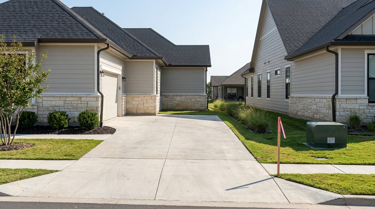
- Reciprocal easement agreements that govern shared drives or parking across parcels.
Recorded vs implied or prescriptive rights
A recorded easement is best, because it is in the public record and will be listed as a title exception you can evaluate (Register of Deeds). Implied or by‑necessity easements can arise when a split would otherwise leave a parcel landlocked, but those require legal analysis of the facts. Prescriptive easements come from long‑term use under the adverse‑possession framework, and Kansas courts apply a 15‑year period when evaluating those claims. In 2023, the Kansas Supreme Court clarified that “exclusivity” for a prescriptive easement is narrow, meaning exclusive for the specific use claimed rather than excluding all others entirely (Pyle v. Gall decision).
City right‑of‑way and driveway approaches
In Overland Park, the city may control the curb, approach, and parkway area along your frontage. Changing or replacing a driveway approach usually triggers a right‑of‑way permit review. That review can affect your alignment options even if you have a recorded access easement, because city standards apply within the public right‑of‑way. Review the city’s guidance before you plan improvements in 66224 (Overland Park right‑of‑way permits).
Title commitments, survey exceptions, and lenders
A title commitment is organized into a few key parts. Schedule A states the basic facts. Schedule B‑1 lists requirements to clear before policy issuance. Schedule B‑2, or the exceptions list, shows what the policy will not insure, which often includes recorded easements and items a proper survey would reveal. An ALTA/NSPS survey can help the underwriter locate and, in some cases, insure over specific matters, subject to the company’s rules (title commitment basics).
Lenders often have rules for private roads and shared driveways. Many programs look for a recorded access easement that runs with the land and a maintenance agreement that explains who pays for repairs and snow removal. FHA guidance has historically required documentation of access and road maintenance, which is a common source of last‑minute loan conditions if papers are missing (FHA private road guidance example).
Red flags to catch early
- The parcel uses a private drive to reach the street, and no one can produce a recorded access easement with a document number.
- The survey shows a fence, corner of the home, or driveway inside a utility or drainage easement.
- The title commitment lists an easement that affects your driveway or buildable area on Schedule B‑2, but you do not have the underlying document to read.
- A shared driveway exists, but there is no recorded reciprocal easement or maintenance agreement, and the lender wants one.
- You hear that neighbors have argued about use or access for years. That can hint at a prescriptive or implied easement situation that needs careful review of the facts (Pyle v. Gall decision).
What to do if you find a problem
- Missing recorded access. Do not rely on a handshake. Ask the seller to provide a recorded easement that clearly grants perpetual ingress and egress to the parcel, identified by instrument number from the Register of Deeds.
- No shared‑drive maintenance language. Work toward a recorded maintenance agreement that names the parties, sets routine upkeep and cost sharing, and allows for collection or enforcement. Confirm your title company will accept the form before drafting (FHA private road guidance example).
- Survey conflicts and encroachments. Consider ordering a current boundary or ALTA/NSPS survey from a Kansas‑licensed surveyor, ask title about endorsement options, and look at neighbor releases if practical under Kansas standards (Kansas survey standards overview).
Due diligence checklist for 66224
- Pull subdivision plats and parcel data in AIMS, then mark every platted easement that touches the lot (AIMS plat search).
- Order the full title commitment with copies of all Schedule B underlying instruments so you can read the actual easement language (title commitment basics).
- Retrieve recorded easements and agreements by document number from the Register of Deeds to verify access, drainage, and shared‑use terms (Register of Deeds).
- Ask the seller for any existing surveys. If none, or if the survey is old, order a current boundary or ALTA/NSPS survey. If ALTA, confirm whether it follows the 2026 standard and identify needed Table A items (2026 ALTA/NSPS standards).
- Check Overland Park right‑of‑way permit rules for any planned driveway changes, culvert work, or approach adjustments (Overland Park right‑of‑way permits).
- Keep your surveyor and title officer in the loop. If you need to verify a surveyor’s licensing or understand standards, consult the Kansas Board of Technical Professions and KSLS resources (Kansas surveyor licensing).
Local resources and who to call
- Johnson County AIMS for plats and parcel layers in Overland Park and Olathe (AIMS plat search).
- Johnson County Register of Deeds for recorded easements and deeds (Register of Deeds).
- City of Overland Park for right‑of‑way and driveway approach permits (Overland Park right‑of‑way permits).
- Kansas Board of Technical Professions for surveyor standards and licensing (Kansas surveyor licensing).
Buying or selling land in 66224 is part lifestyle and part technical exercise. If you confirm access, map the easements that matter, and match the survey to your title commitment, you move forward with confidence. If you want help sorting a tricky shared drive, a boundary question, or a buildable envelope, connect with Jamie Howell for clear next steps rooted in local acreage experience and engineering‑level due diligence.
FAQs
What survey is best for a Johnson County land purchase?
- For most acreage deals, a boundary survey confirms lines and encroachments, while an ALTA/NSPS survey adds detailed title mapping if your lender or underwriter needs it (2026 ALTA/NSPS standards).
How do I verify a shared driveway easement in Overland Park?
- Check the plat in AIMS for the easement location, then pull the recorded instrument by document number from the Register of Deeds to read the terms and duration (AIMS plat search, Register of Deeds).
Can long‑time use create a legal access right in Kansas?
- Possibly, but prescriptive easements follow the adverse‑possession framework with a 15‑year period, and the Kansas Supreme Court narrowed how “exclusivity” is applied in 2023 (Pyle v. Gall decision).
Will Overland Park control my driveway approach in 66224?
- Yes, work in the public right‑of‑way usually needs a city permit, which can affect alignment and materials at the curb and approach (Overland Park right‑of‑way permits).
What if my survey shows an encroachment over a utility or drainage easement?
- Talk with your surveyor and title company about options, which can include endorsements, relocation, neighbor releases, or updated surveys under Kansas standards (Kansas survey standards overview).